Every flight, every spray, every map delivered with accuracy
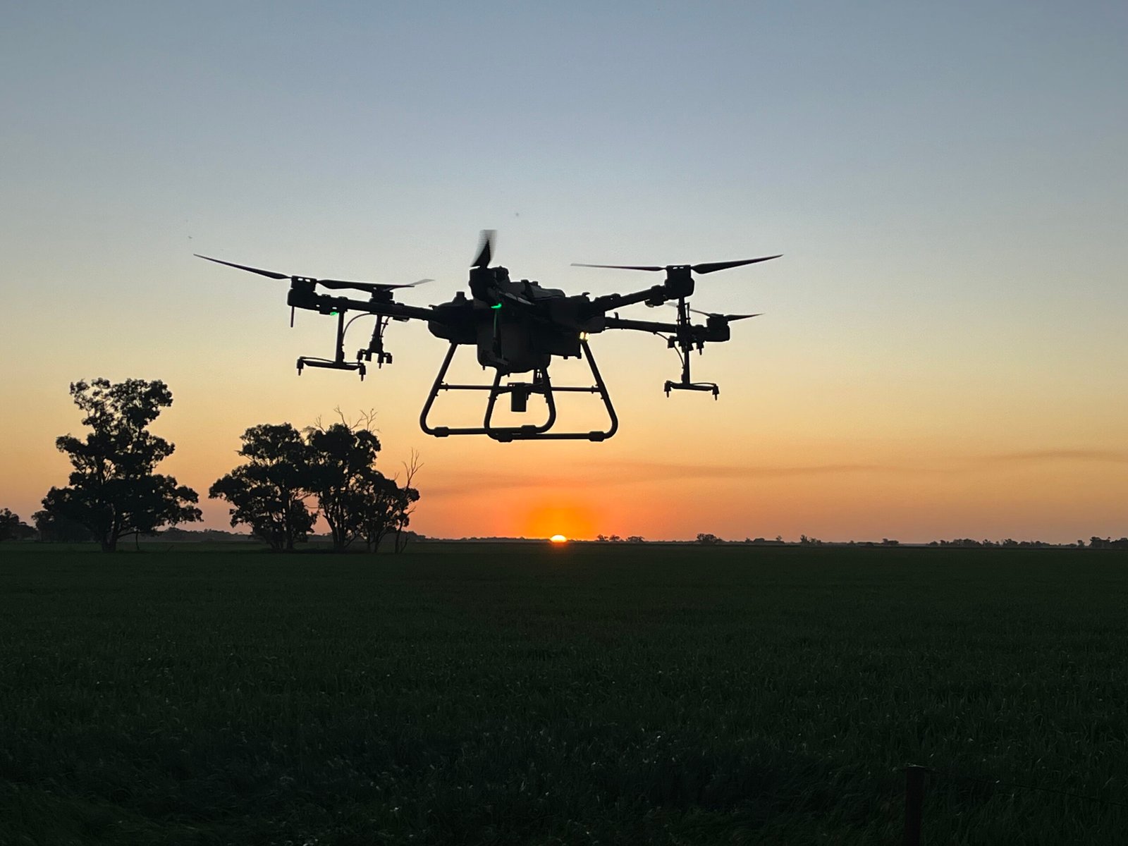
Aerial intelligence for Agriculture Precision drone spraying, mapping and crop monitoring that reduces inputs, improves yields and protects the environment
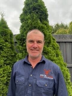
Hi, I’m Adrian — I founded ROTAVision to bring real tech solutions to Aussie farmers like you.
RotaVision was founded by Adrian White, a fourth-generation farmer from the Clare Valley in South Australia. After growing up on the land, Adrian built a two-decade corporate career in logistics and supply chain, studying at RMIT and working with global organisations including BP, Linfox, Toll Group and Foster’s Wine Estates.
Like many Australians, the lockdown years sparked a shift. Adrian wanted to return to open skies, practical work and meaningful impact in the agriculture industry. In 2021, he became a CASA certified drone pilot, recognising the huge potential of aerial technology to solve real problems for growers. RotaVision was created to bring that potential to life.
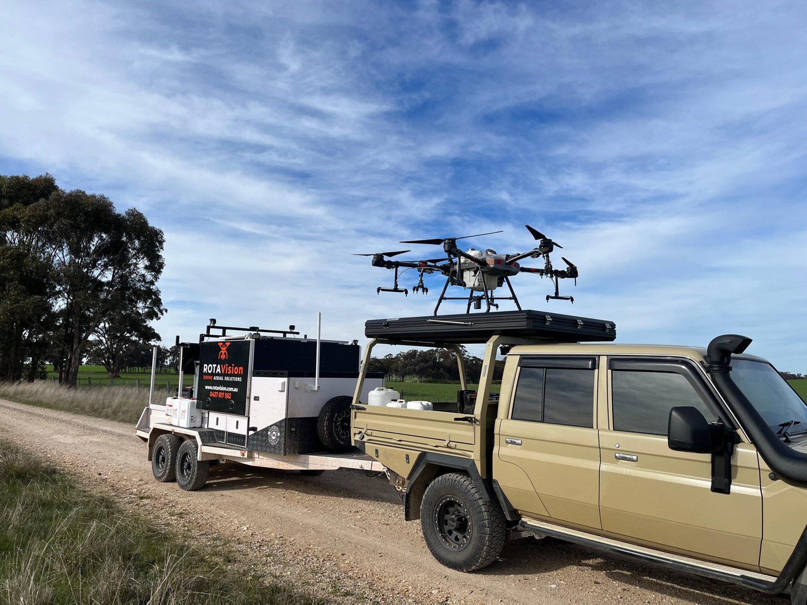
Today, RotaVision uses advanced drone spraying, mapping and crop-monitoring technology to deliver precise weed control, reduced chemical use and greater on-farm efficiency. By combining agricultural heritage with modern aerial intelligence, RotaVision helps farmers save time, cut costs and grow more with less.
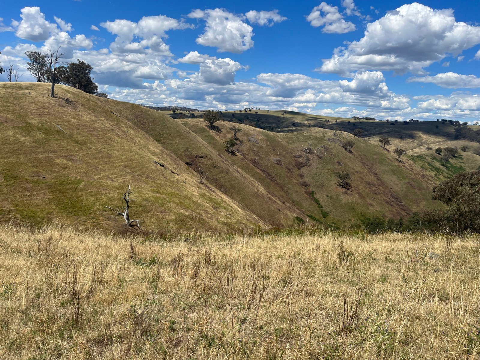
We work across a wide range of crops including cereals, legumes, canola, potatoes, tomatoes, pastures, and even irrigation channels. If you’re not sure, reach out — we’ll assess your specific needs.
How many hectares an hour can you spray
That’s the beauty of precision! Our drone mapping identifies only the areas that need spraying. In some cases, we’ve reduced chemical usage by up to 70%.
What is the cost per hectare
We typically generate application-ready maps within 4 hours of scanning. That means you can go from data to action — same day.
How is it charged?
Yes! Our prescription maps are fully compatible with the John Deere Operations Center and other modern farm management systems.
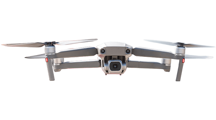
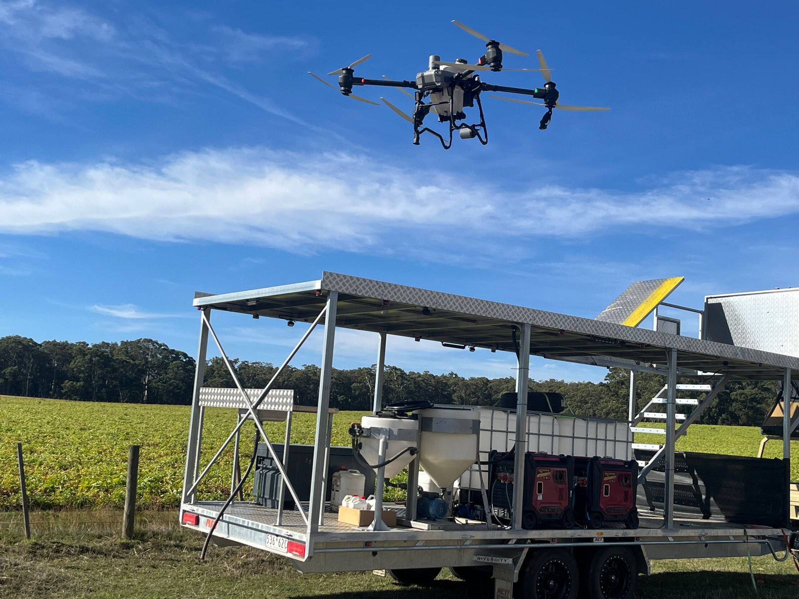
Do I need to own a drone or any special equipment?
Nope! We bring all the necessary tech. There’s no need to buy expensive gear — we handle scanning, mapping, and even spraying if required.